


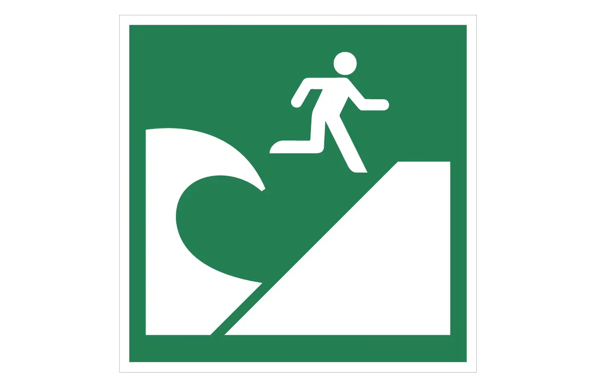

ISO 7010 E062 Tsunami Evacuation Area Sign – CAD Block, PDF & SVG
The ISO 7010 E062 Tsunami Evacuation Area Sign CAD Block identifies safe zones where people should assemble during a tsunami warning or immediately after strong coastal shaking. It guides residents, visitors, and staff toward designated high-ground or inland evacuation areas, away from low-lying shoreline locations. As a result, you support faster, more organized movement to safety and help reduce confusion during tsunami drills and real emergency events.
Because the design follows ISO 7010 E062, the symbol is easily understood in coastal cities, ports, industrial zones, tourist areas, and resort complexes around the world. The same graphic appears on coastal safety maps, wayfinding signage, evacuation route diagrams, and public information boards. Therefore, when you add this CAD block to your drawings, users immediately recognize that the marked space is an official tsunami evacuation area. In turn, your layouts stay aligned with international best practice for coastal hazard communication and emergency planning.
This safe condition sign CAD block comes in DWG, PDF, and SVG formats. You can insert the DWG file directly into AutoCAD, BricsCAD, or DraftSight for infrastructure and urban-planning drawings. Additionally, you can send the PDF to print shops or use the SVG in Illustrator, Inkscape, CNC workflows, and digital signage systems. The vector-based geometry maintains sharp edges and clear symbol detail at every scale, from small map insets to large roadside panels and wall-mounted signs. For complete safe condition signage coverage across a project, refer to the ISO 7010 Safe Condition Signs – Full CAD Block Set (DWG, PDF & SVG).
Key Features
- Accurate CAD drawing of ISO 7010 E062 Tsunami Evacuation Area Sign
- Supplied in DWG, PDF, and SVG formats for flexible coastal-planning workflows
- Ready for AutoCAD, BricsCAD, DraftSight, CNC tools, and graphics software
- Uses ISO 3864-1 safe condition color standard (Green RAL 6032 / HEX #00A650)
- Ideal for coastal towns, ports, industrial waterfronts, resorts, and tsunami-prone regions
Applications
- Mark official safe zones in tsunami evacuation maps, coastal master plans, and emergency-assembly layouts
- Insert the symbol into CAD-based evacuation diagrams and hazard communication signage sets
- Use it in public-awareness leaflets, school training materials, and municipality safety guides
- Coordinate with local civil-defence policies, coastal hazard plans, and internal emergency procedures
- Explore more safe condition symbols in our Safe Condition Signs CAD blocks collection
Compliance
This CAD symbol follows ISO 7010 E062 and ISO 3864-1 requirements for safe condition tsunami signage. Consequently, your drawings use the same visual language expected by safety officers, coastal planners, and emergency-management agencies. Moreover, clear and consistent marking of tsunami evacuation areas improves wayfinding during drills and real incidents, because people can quickly identify where to gather on higher or safer ground.
For a wider range of compliant graphics, you can browse the full AppisCAD safety sign CAD block collection. To learn more about how ISO 7010 defines international safety symbols, visit ISO 7010:2019 (Registered safety signs).
| Version | 2.1 |
|---|